
Everything about your site in one place.
Enter an Eircode or address for a site — geology, water, heritage, environmental hazards, and planning context, compiled from Ireland's public data sources.
Features
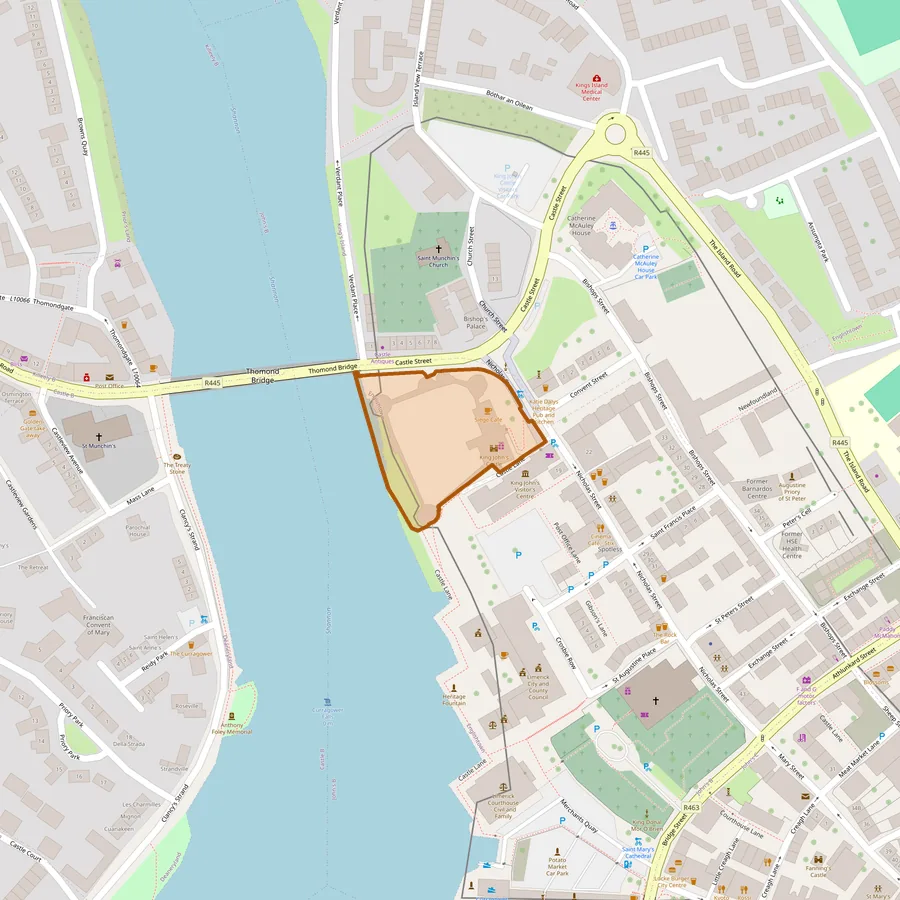
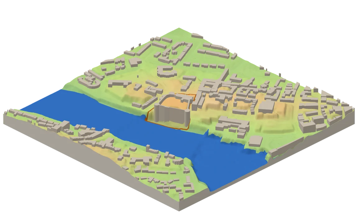
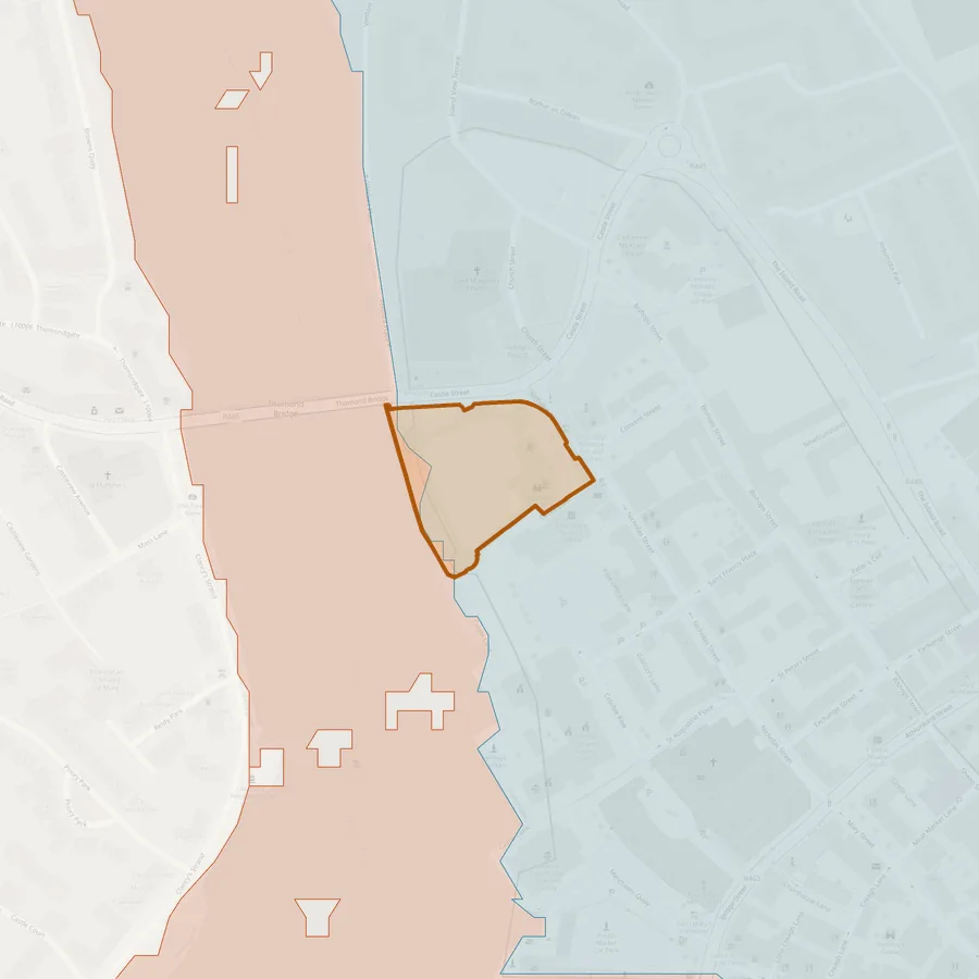
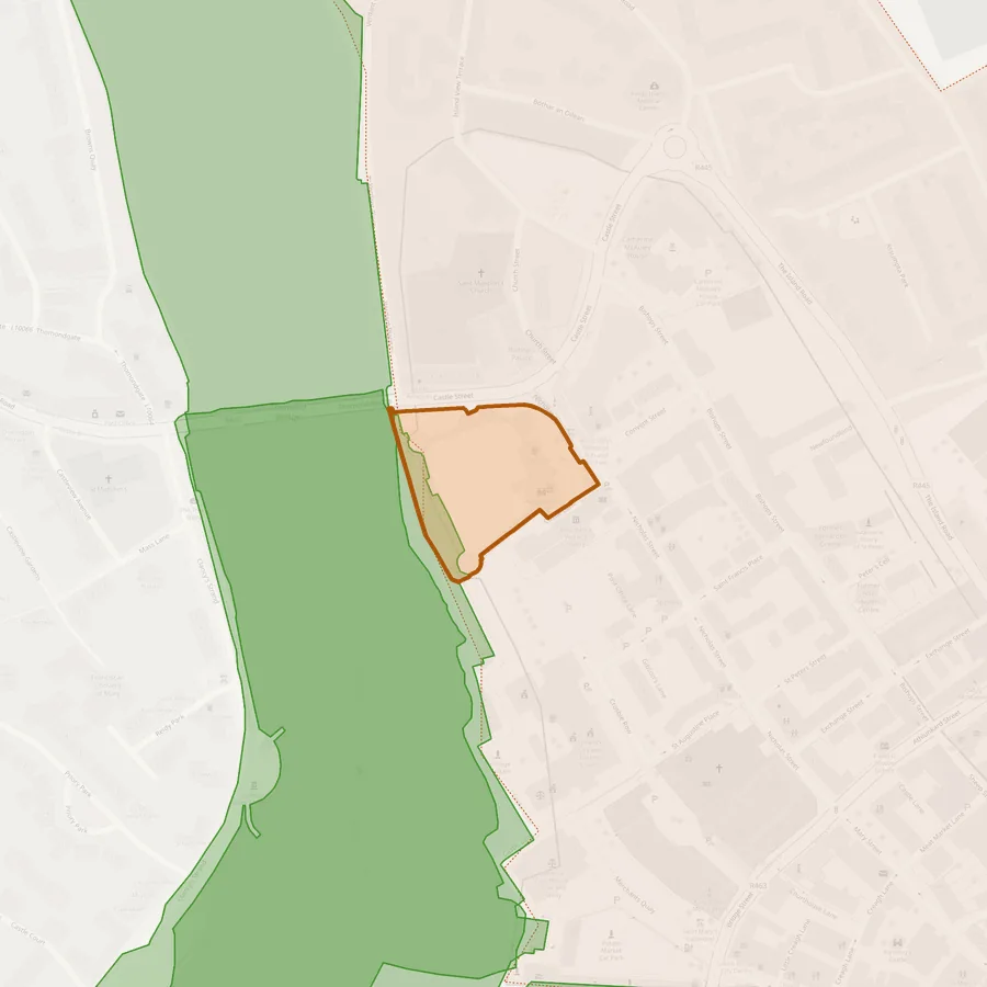
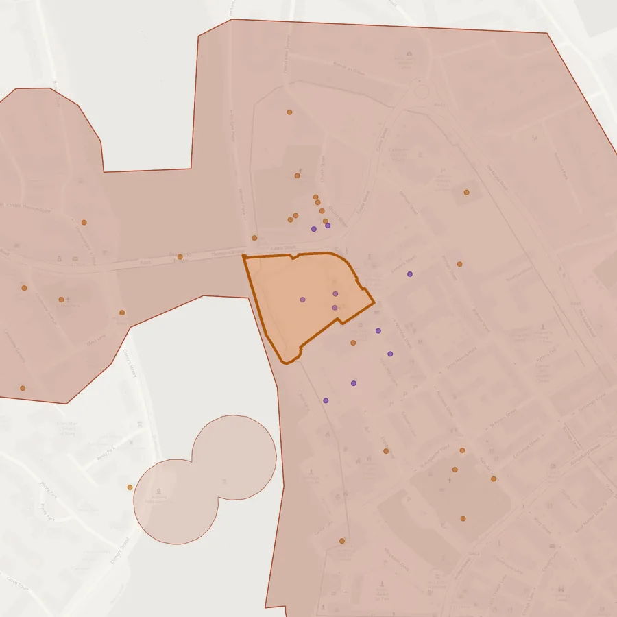
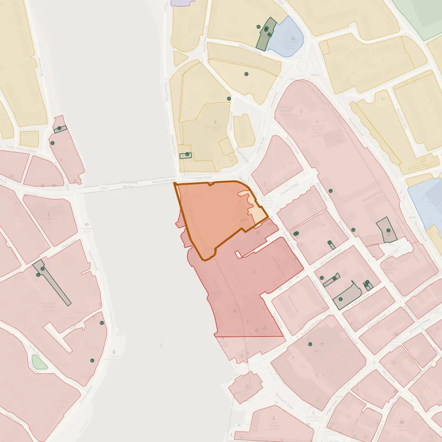
What InSite pulls together
One search compiles the categories a planner, PM, or architect would otherwise gather by hand — each fetched live from its own public source, not a cached snapshot.
The site
An address or Eircode, resolved to its registered Tailte Éireann parcel(s) — the outlined plot on every layer above.
Ground & Terrain
Bedrock & subsoil geology, soil survey, real LIDAR elevation with a rotatable 3D model, and geohazards like landslide risk.
Water
Groundwater vulnerability, flood risk (OPW), WFD water body status, and nearby wells with real recorded water-strike depths.
Environment & Hazards
Ecological designations (SAC/SPA/NHA), radon risk, licensed industrial facilities, and nearby species records.
Heritage & Protected Areas
Archaeology (SMR), protected structures (NIAH), and statutory conservation areas (RPS/ACA).
Planning & Utilities
Current development plan zoning, the Residential Zoned Land Tax map, nearby planning applications, and the utility providers to contact.
King John's Castle, Limerick
Process
How it works
-
1
Enter an address or Eircode
InSite resolves it and shows every nearby registered cadastral parcel on the map.
-
2
Confirm the plot
Select and merge whichever parcel(s) actually make up the site — many real properties span more than one.
-
3
Get the full picture
Every category loads in the background while you confirm the plot — live data from Ireland's own public sources, not a guess.
About
About InSite
InSite pulls together the site-scouting categories a planner, PM, or architect would otherwise gather by hand — geology, water, heritage, environmental hazards, and planning context — from Ireland's public data sources, into one report.
This is a personal, non-commercial tool. Every data point is fetched live from its original public source (GSI, EPA, Tailte Éireann, the National Monuments Service, and others) — nothing is guessed or modelled beyond what's explicitly disclosed alongside each result.
Get started
Ready to scout a site?
Drop in an Eircode or address and get the full picture in seconds.